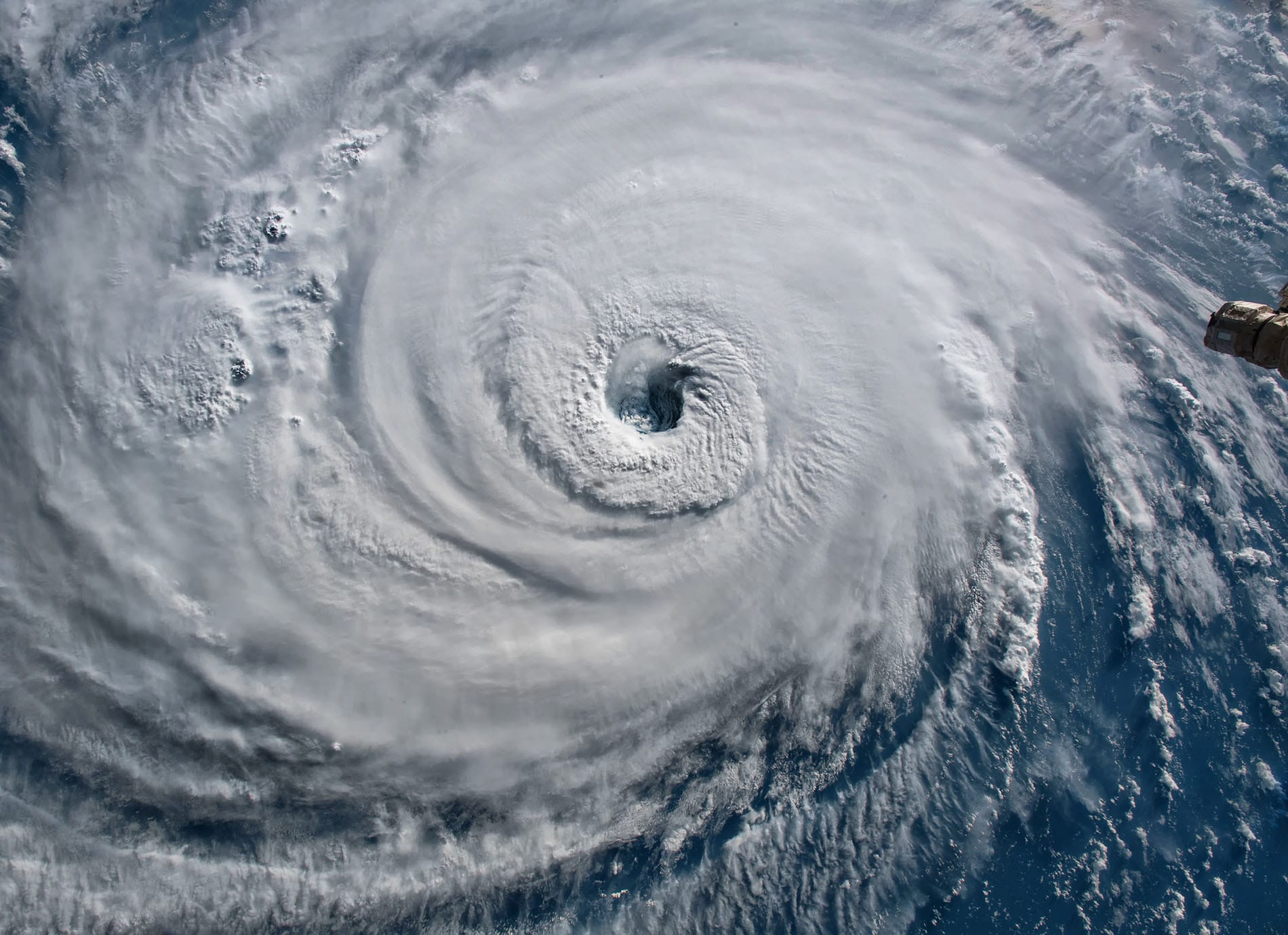
What just happened?
Tropical Storm Bertha formed off the Florida coast and is moving on a path toward the U.S. Gulf Coast, multiple news organizations reported early Tuesday. The Associated Press and Spectrum News published bulletins describing Bertha’s formation and its projected track toward the Gulf.
Local outlets in Florida echoed the development. The Tallahassee Democrat reported the system had gained tropical-storm status off Florida, and the Sun Sentinel warned the storm-surge and flood threat was expanding for the Florida Panhandle and neighboring Gulf coast communities.
Why the real question is intensity and timing — and why that matters
It’s tempting to treat a named storm as a single, fixed danger. The urgent question for residents and emergency planners is how strong Bertha will be when and where it reaches shallow coastal waters and the shoreline. Sun Sentinel’s reporting highlights that even a relatively modest tropical storm can produce dangerous storm surge and flooding if the timing and local coastal bathymetry align.
News outlets reporting Bertha’s formation emphasize uncertainty about exact intensity and landfall timing. Those variables drive whether impacts are concentrated on storm surge near the immediate coastline, inland flash flooding, or both. That’s why forecasts and local advisories matter more than the mere fact of a storm’s name.
What to watch and what to do now
Forecasters are still refining Bertha’s track and strength; the AP and Spectrum dispatches note the system is on a Gulf-bound trajectory but stop short of precise timing or wind estimates. Local reporting from the Sun Sentinel stresses that the area of elevated storm-surge and flood risk has expanded — a sign that residents should follow official watches and warnings closely.
Practical steps: monitor National Weather Service and local emergency-management channels for watches, evacuation notices or shelter information; prepare for coastal flooding even if sustained winds appear moderate; and secure loose outdoor items and review flood plans. Local outlets are issuing updates; stay tuned to them and official meteorological sources for the next advisories.
Sources reviewed
- AP News: Tropical Storm Bertha forms on track approaching US Gulf Coast
- Sun Sentinel: Flood, storm surge threat expands for Florida Panhandle, Gulf coast ahead of Tropical Storm Bertha
- Spectrum News: Tropical Storm Bertha forms on track approaching US Gulf Coast
- Tallahassee Democrat: Tropical Storm Bertha forms off Florida coast
- Inquirer.com: Tropical Storm Bertha forms on track approaching U.S. Gulf Coast
- Northeast Mississippi Daily Journal: Tropical Storm Bertha forms on track approaching US Gulf Coast
- Ottumwa Courier: Tropical Storm Bertha forms on track approaching US Gulf Coast
- WAVE News: Tropical depression nearing US Gulf Coast set to become a tropical storm, forecasters say