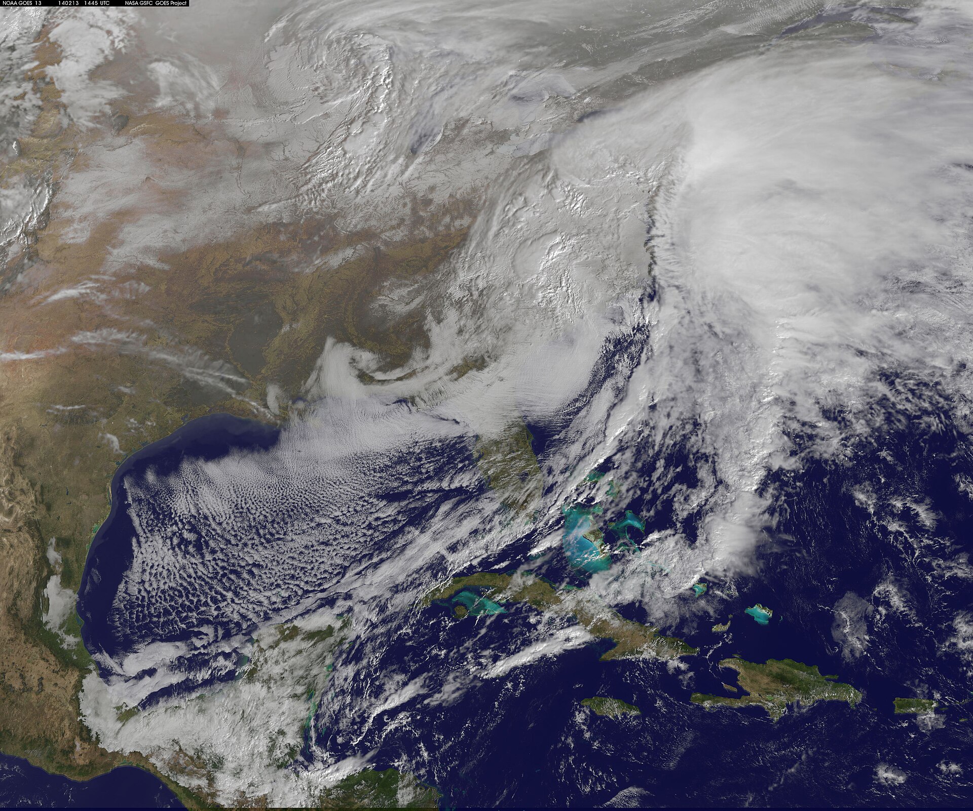
What’s happening now: a multiday storm threat from Plains to New England
Forecasters say a fast-moving storm system will produce heavy rain, severe thunderstorms and a flash-flood threat across a wide swath of the central and eastern United States this week. The Weather Channel reports severe storms and heavy rain are expected in the Ohio Valley and New England, as the system advances eastward.
Several national and regional outlets describe a multiday threat that begins over the Plains and expands toward the East Coast. Yahoo News Canada and other reporting describe the risk as spanning from the Plains into the mid-Atlantic and New England, with repeated rounds of heavy rain and embedded severe storms capable of producing flash flooding.
Local timing varies by market. DailyVoice highlights the timing for downpours in the Northeast, urging residents there to expect periods of heavy rain as the system arrives. Additional reporting notes the storm has already been associated with severe weather in parts of the upper Midwest and Great Lakes region, and some outlets report isolated cross-border tornadoes between Michigan and parts of Canada tied to the same system.
Where flooding and power disruptions are most likely, outlets warn, will depend on storm intensity and how much rain falls over a short period. International and regional coverage also flags the risk of localized power outages in the Northeast and advises preparedness for heavy rainfall that may overload drainage systems.
Weekend pattern: heat in the interior, storms on the East Coast
As the storm system shifts, forecasters expect a contrasting pattern across the country over the holiday weekend. Reporting compiled by voz.us and other outlets indicates the central and western Midwest will face extreme heat, while the eastern states remain vulnerable to rounds of severe storms and heavy rain through the Labor Day weekend.
The juxtaposition of intense heat inland and storminess along the eastern seaboard reflects common late-summer dynamics when warm, humid air interacts with frontal systems moving off the continent. That pattern can produce concentrated severe-weather outbreaks and can also magnify flash-flood risk where storms stall or train over the same area.
Meteorologists and emergency managers typically advise residents in threatened areas to monitor local National Weather Service updates, follow any watches or warnings, and have a plan for quickly moving to higher ground or a safe interior room if flooding or damaging winds are forecast. Outages and downed trees become a particular concern where saturated soils reduce root strength and strong winds accompany storms.
Why this matters next season: an intensifying El Niño and winter forecasts
Beyond the immediate threats, a separate but related climate signal is shaping forecasters’ expectations for the coming winter. Multiple outlets report that El Niño — a recurring Pacific Ocean pattern that influences global weather — is intensifying. Yahoo’s coverage cites a United Nations warning that El Niño appears to be strengthening rapidly, language that multiple outlets have summarized as the phenomenon being “supersized” as it develops.
Seasonal forecast publications are already incorporating that signal. The Old Farmer’s Almanac has published background on what El Niño means for North American winters, describing how the pattern historically shifts storm tracks and temperature anomalies. Newsweek reviewed the Almanac’s take and highlighted its forecast that a strong El Niño could materially reshape the 2026–2027 winter for parts of the United States.
Independent seasonal forecasters are not unanimous, but others are pointing to increased odds of certain winter outcomes. The Farmers’ Almanac and linked reporting project more active winter weather in some regions, including potential spells of snow, sleet and sudden cold in parts of the country if the El Niño follows historical patterns. Those seasonal projections are probabilistic: they indicate increased chances rather than guaranteed outcomes, and the precise regional impacts will depend on how the Pacific pattern interacts with continental weather systems this autumn and winter.
For readers, the practical takeaway is twofold: in the near term, prepare for heavy rain, severe storms and possible flooding where the storm system will move through; for the months ahead, expect seasonal forecasts to evolve as agencies track El Niño’s strength and the broader ocean–atmosphere signals that steer winter weather. Public agencies such as regional weather services will update hazard guidance as models and observations clarify likely storm tracks and precipitation amounts.
What to watch next
Follow local National Weather Service forecasts for watches and warnings tied to the multiday storm system, and check updates from utilities and local emergency managers if you are in flood-prone or outage-prone areas. Media coverage from The Weather Channel, Yahoo, and regional outlets will continue to update timing and impacts as the system progresses eastward.
On the seasonal side, expect new model runs and agency briefings this autumn as scientists refine projections tied to the developing El Niño. Almanacs and feature forecasts offer early guidance, but operational agencies and climate centers will provide the evolving, model-based outlooks that planners and communities use to prepare for winter conditions.
Sources reviewed
- The Weather Channel: Severe storms, heavy rain for Ohio Valley, New England
- Newsweek: Old Farmer’s Almanac Predicts How Super El Niño Could Reshape US Winter
- DailyVoice.com: New Storm System Will Bring Downpours To Northeast: Timing
- The Old Farmer’s Almanac: What Is El Niño? What It Means for Winter 2026–2027
- finchannel: Farmers’ Almanac Winter 2026–27 Forecast: Snow, Sleet and Sudden Cold Expected Across U.S.
- voz.us: Extreme heat in the Midwest and severe storms in the East: Here's what the Labor Day weekend looks like
- Yahoo News Canada: Multiday severe storm and flash flood threat to sweep from Plains to East Coast
- Межа. Новини України.: Severe Storms Threaten Flooding and Power Outages Across the Northeastern US
- SuaraGarut.ID: Severe Storm System Spawns Cross-Border Tornadoes in Michigan and Canada
- Yahoo: El Niño is being 'supersized before our eyes,' U.N. warns. What that means for the weather where you live this fall and winter.